
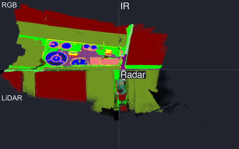
MultiFlyFour sensing modalities. One shared semantic view of the world.
A real-world aerial dataset connecting RGB, thermal, LiDAR, and radar through geometry-driven semantic label transfer.
Research Engineer · Fraunhofer IVI
I’m a research engineer working on robotic perception, 3D scene understanding, and aerial autonomy. I build systems that connect what a robot sees with the world around it.
Seeing consistently.
Frame after frame.
KD-SSP crop from the paper’s video, playing inline. Open the full comparison to see all four methods. Source & context
01 / A little about me
I’m a Research Engineer at Fraunhofer IVI, working on perception systems for autonomous aerial robots. My research spans video understanding, multimodal sensing, and semantic 3D mapping.
I’m interested in the space between a promising research idea and a system that works beyond the benchmark. This site brings together my publications, experiments, and, over time, notes on what I’m learning and building.
More about my background02 / What I’ve been working on
Recent papers and project updates. A small record of what I’m working on and sharing.
Publication
A real-world aerial dataset connecting RGB, thermal, LiDAR, and radar through geometry-driven semantic label transfer.
Publication
Graph-based correction of semantic labels in completed voxel maps, keeping geometry and occupancy fixed.
Publication
Mission-level evaluation of multimodal language-model agents for aerial tasks, including qualitative failure analysis.
Publication
Learned semantic path priors connect image understanding with image-based planning.
03 / Research
A real-world aerial dataset connecting RGB, thermal, LiDAR, and radar through geometry-driven semantic label transfer.
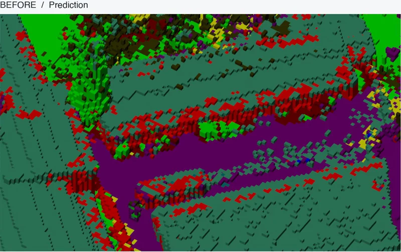
Graph-based correction of semantic labels in completed voxel maps, keeping geometry and occupancy fixed.
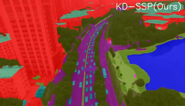
Semantic similarity propagation improves temporal consistency in video semantic segmentation for autonomous flight.
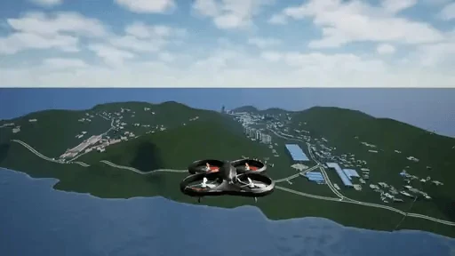
Mission-level evaluation of multimodal language-model agents for aerial tasks, including qualitative failure analysis.
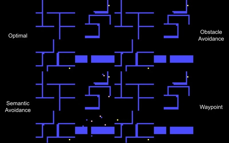
Learned semantic path priors connect image understanding with image-based planning.
04 / The questions that connect it
Three connected research directions. Distinct projects, shared questions about reliable robotic perception.
How can a robot understand what it sees, consistently over time and across sensing modalities?
Video perception / SSPHow can semantic geometry become a more reliable representation of the world?
Semantic mapping / VoxelFixHow can perception support planning, and how should we evaluate an agent’s complete mission?
Mission evaluation / MissionBench05 / Look beyond the figure
Explore what changes when semantic labels are corrected, while the underlying geometry stays fixed.
The VoxelFix viewer places input, corrected, and ground-truth maps side by side, with synchronized cameras and real scene data.
Explore the voxel maps Interactive 3D opens on the project page.
06 / Beyond the paper
My work sits at the intersection of computer vision, semantic mapping, and aerial robotics.
At Fraunhofer IVI, I work in a collaborative research environment where robotic perception connects with practical autonomous systems.
Applied research contextIdeas are better in conversation
Research, collaboration, or an interesting technical question.
I’d be happy to hear from you.